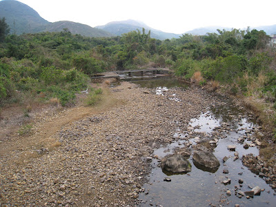
Looking upstream from the bridge into Lung Hang River
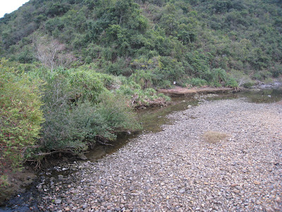
About 500 meters into the County Park, the road crosses the Lung Hang River, which was in spate when I last photographed it in June last year. But today, it was barely a trickle.

Looking downstream from the bridge
On the way up the road and through a BBQ site, I would come to pause at this stream. But today, there wasn't a drop of water.

In Hong Kong, the government (ably assisted by the Highways Department, the Water Supplies Department, the Architectural Services Department, and other bureaucratic units), is intent on concreting every possible hillside and every pathway. Here is another example of an utterly unnecessary instance of such concreting. The slope is yards away from a road which is not much travelled on, and millions of dollars have been spent to concrete it, all in the name of safety. But whose safety? Safeguarding the jobs of bureaucrats/civil servants who are determined to spend all the funds allocated to their respective departments each year.


Looking back towards Pak Tam Chung

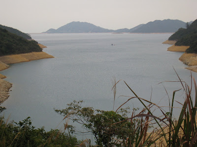
The first view of High Island Reservoir. This is 1.5km. from the park entrance. The water level is low due to the drought.

Another view of the reservoir. We usually come here at dusk, when it's even more peaceful.
Hong Kong bureaucrats are fond of signs.

We decided to walk towards Long Ke. (We had come from the direction of Pak Tam Chung.)

On the road to Long Ke.

After a 30-minute walk along the road to Long Ke, we came to the dam, which was built in 1978 when Sir Murray Maclehose was the Governor. The sea was dammed on two sides to create the reservoir.

That's me on the dam!

With Fawzia.


The road on the dam.


Rather than walking back the way we came, we decided to take this trail which would take us back to the Pak Tam Chung area.


No comments:
Post a Comment